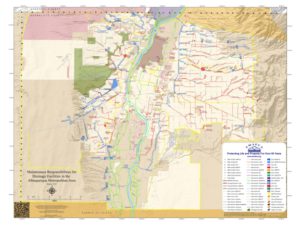
Maintenance Map for Drainage Facilities in the Albuquerque Metropolitan Area
Color-coded map details various ditches, arroyos, channels, and other drainage facilities in the greater Albuquerque area by maintaining agency.
Google Earth KMZ Files:
- AMAFCA Drainage Facilities – AMAFCA Facilities.kmz (Updated 6/24/2024)
- Other Agency Drainage Facilities – Other Drainage Facilities.kmz (Updated 6/24/2024)
Available AMAFCA Shapefiles:
-
- AMAFCA Districts
- AMAFCA Drainage
- Undeveloped Arroyos
- Watersheds
Imagery & LIDAR:
AMAFCA has the following on portable hard drives for checkout from the AMAFCA office. Older orthophotography and DTM data is also available.
Please note there is a 1-week maximum checkout time, hard drives subject to availability.
2022 LIDAR for North Albuquerque Acres
Includes Tramway Blvd. to the East, San Antonio Rd. to the South, Louisiana Blvd. to the West, and Sandia Pueblo to the North
2021 LIDAR for the Southwest Mesa
Includes Coors Blvd. to the east, I-25 to the South, the Rio Puerco escarpment to the West, and Gun Club Rd. to the North
2018 MRCOG Orthophotography
2018 MRCOG LIDAR